

Saturday September 20th, 2025
Thika, Kenya
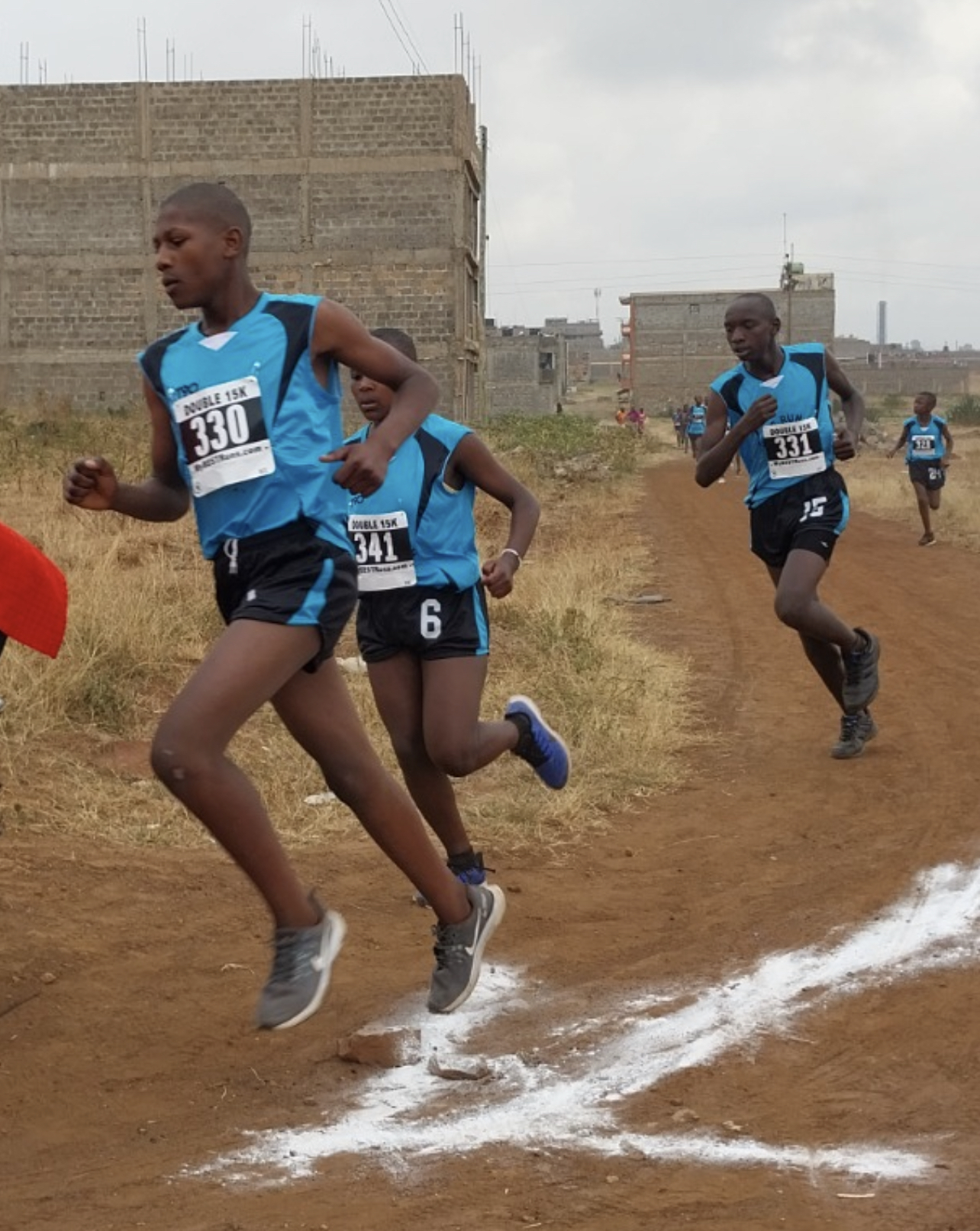
Distance: Double 15K · Kids Race
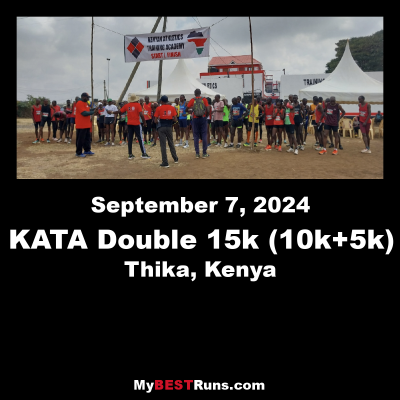
5th Annual KATA Double Road Race 15K Set for September 20, 2025, at KATA Thika
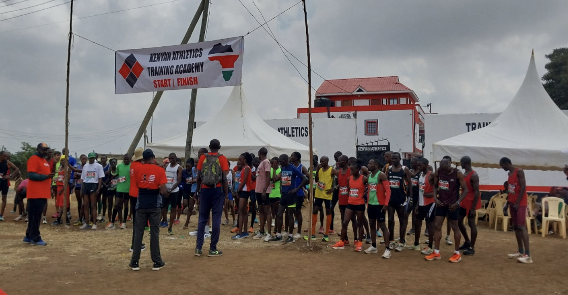
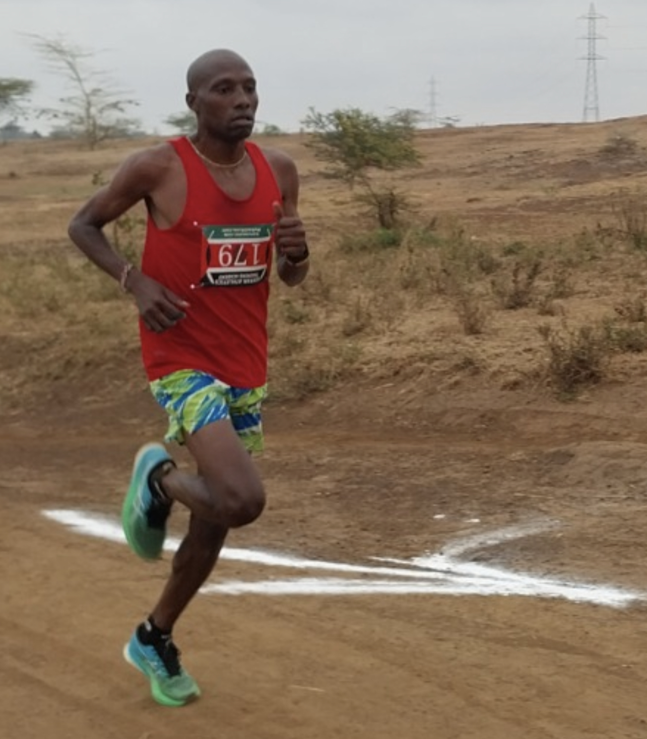
The 5th Annual KATA Double Road Race 15K will be held on September 20, 2025, at the Kenyan Athletics Training Academy (KATA) in Thika, Kenya. The event includes a 10K leg, a break, followed by a 5K leg — a format designed to challenge runners of all levels with a unique two-stage race experience. The start, finish, and halftime break will be based near the KATA campus.
Double Racing was created by Bob Anderson, founder of Runner’s World magazine, in 2010. From October 2010 to October 2012, seven small Double races were held in Mexico under the name Bob Anderson 15K Challenge. The format evolved, and in December 2012, the first official Double Road Race was held in Pleasanton, California, with nearly 1,400 participants. The signature race was the Double 15K — 10K followed by 5K, separated by a 1 hour and 45-minute recovery break known as the Restart.
“Double Racing is doable for runners at all levels,” says Bob Anderson. “It’s a new challenge for many, while others have done many already.”
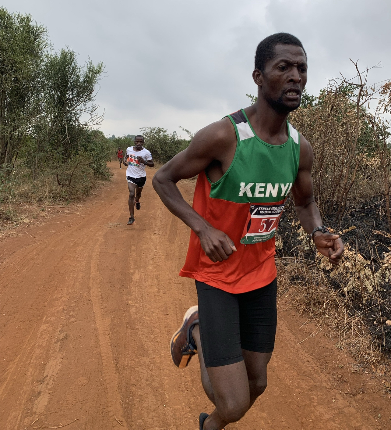
Anderson staged two Double races in Kenya previously — in Thika (2014) and Nyahururu (2015) — both were Double 21Ks (10 miles + break + 5K). These visits inspired the creation of KATA Thika, which officially opened in September 2021, and hosted the first Double 15K in Africa on September 4, 2021. Donikal Komon won that race in 44:42 — the fastest ever run in Africa at that time.
In 2022, Joseph Njoroge shaved two seconds off that mark. But it was in 2024 when history was made.
🔥 A New World Record in 2024
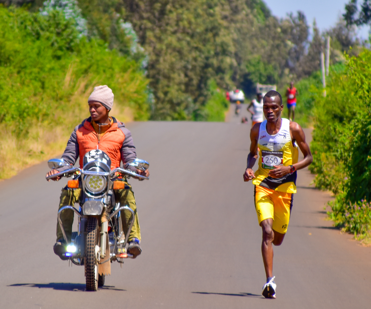
At the 4th Annual KATA Double Road Race 15K held on September 14, 2024, Shadrack Kenduiywo, 24, smashed the world record by clocking 42:34, eclipsing the long-standing record of 43:11 held by Julius Koskei since 2015. Kenduiywo ran 28:33 for the 10K leg and 14:01 for the 5K.
“This was my first Double race, and I was happy. I knew the record was in sight,” he said. “During the break, I relaxed, drank water, ate fruit, and did a 20-minute warmup.”
Despite warm conditions (21°C), his performance was unstoppable. He led from the second kilometer, clocking 2:52, 2:50, 2:57… all the way to a 2:50 final kilometer. His 5K splits were 2:47, 2:48, 2:51, 2:47, and 2:44.
Kenduiywo’s personal bests include:
- Half marathon: 61:24 (Padova, Italy)
- 25K: 1:15 (Berlin)
- 8K: 23:43
- 5K: 13:55 (Udeni)
He promises he’ll run even faster next time.
🥇 2024 Podium Highlights
Top Men
- Shadrack Kenduiywo – 42:34 (28:33 + 14:01)
- Martin Mumo – 43:18
- Zachariah Kirika – 43:37
- Collins Kiplagat – 44:39
- John Njuguna – 45:11
Top Women
- Alice Koigi – 49:30
- Monica Wanjiku – 51:30
- Susan Njuu – 53:07
Men Masters
- Charles Ndirangu, 64 – 56:21
- David Mwangi, 70 – 64:49
- Joseph Kiraio, 72 – 73:40
Women Masters
- Julia Njari, 47 – 60:43
- Sheila Mbaku, 54 – 62:30
The event also included Bob Anderson’s Kids Mile (won by 12-year-old Benjamin Ndaro in 4:54), and a 5K youth race won by Denis Chege, 16, in 17:48.
With over 140 Double 15K races held globally and a new world record established at KATA Thika, the 5th edition promises to be the most exciting yet.
Join us September 20, 2025, in Thika, Kenya, and experience Double Racing at its best.
KATA Double 15k 2021
2024 World Record set
2024
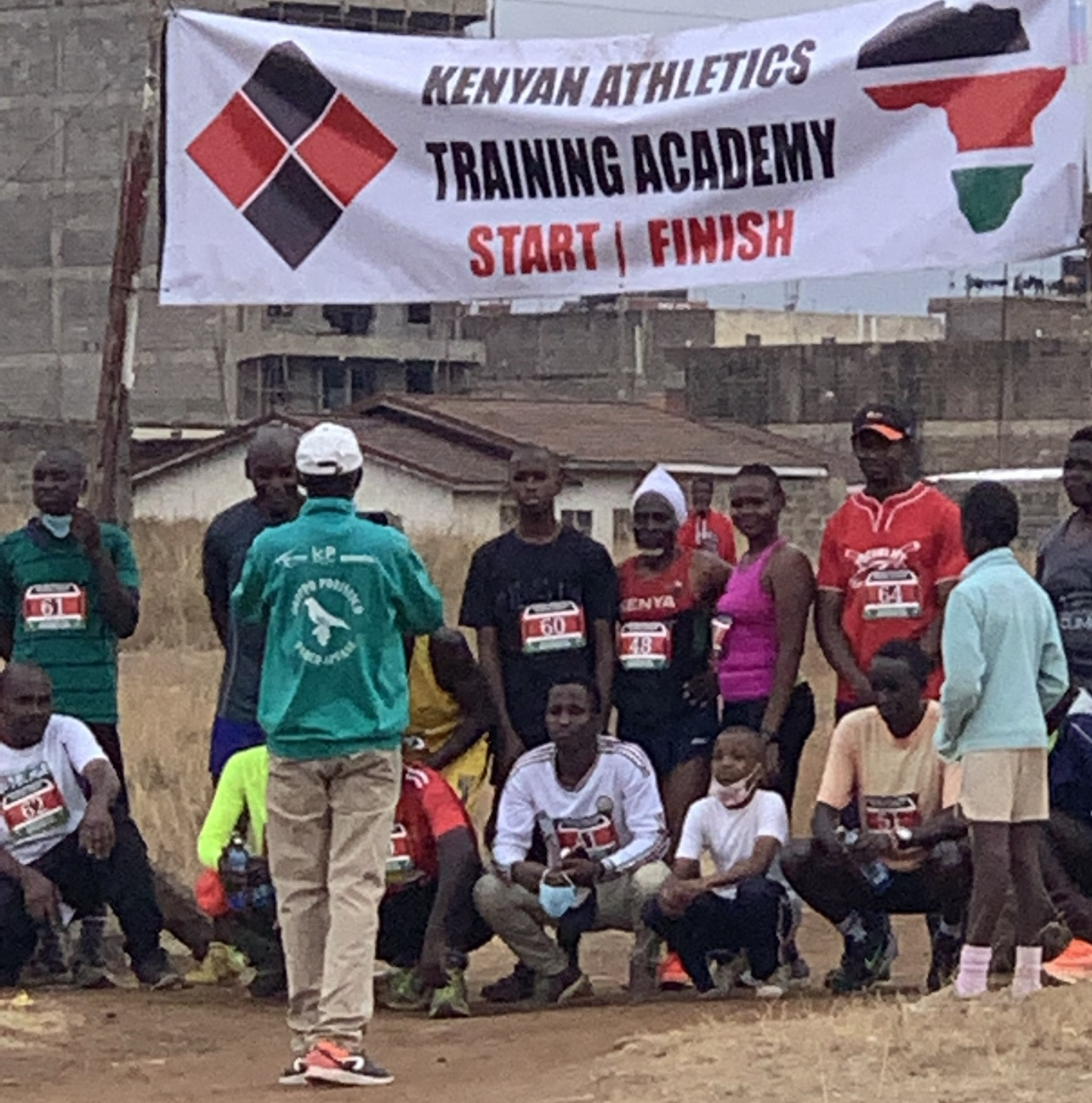
Start of first leg 10k in 2021
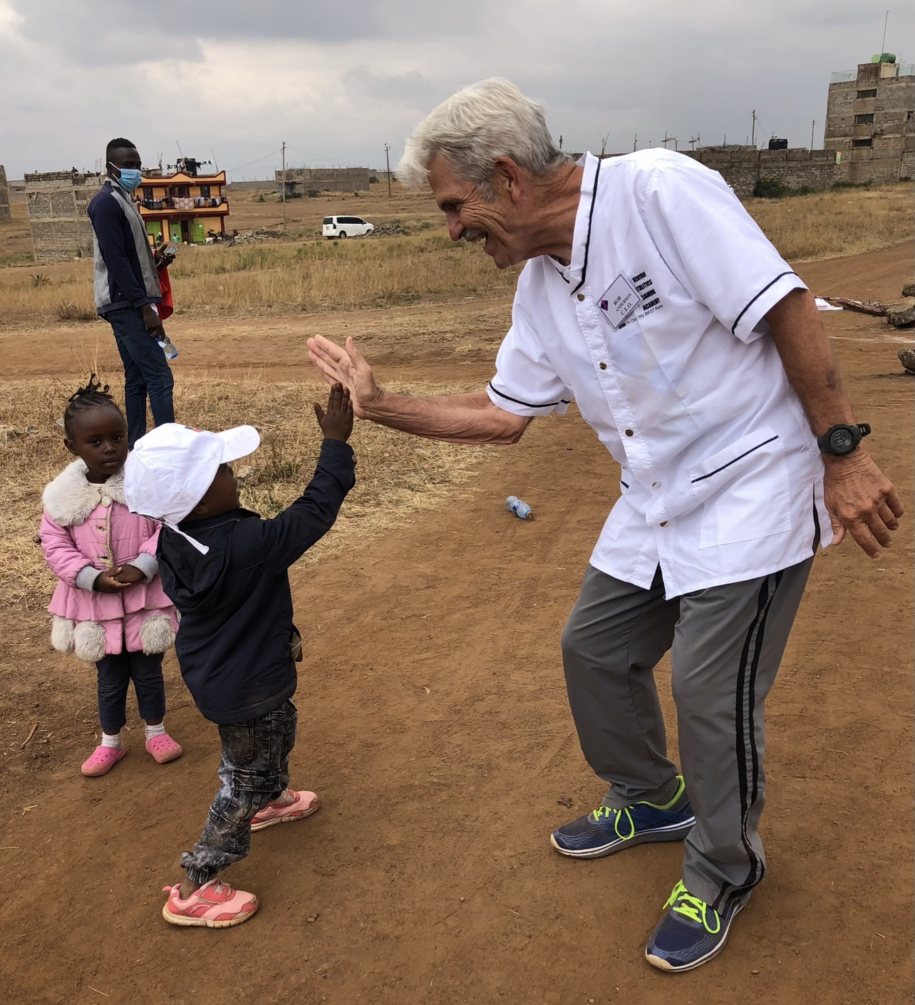
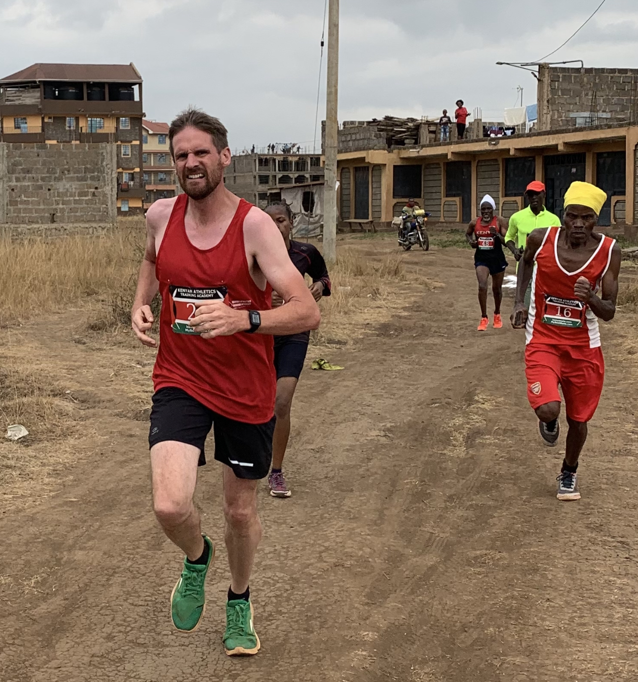
Bob Anderson at 2021 event
2022 KATA Double 15k
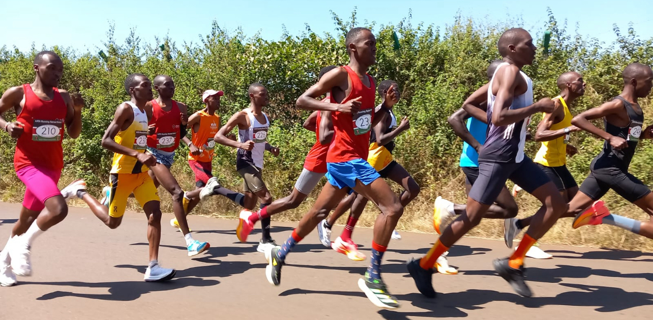
2021 Double 15k
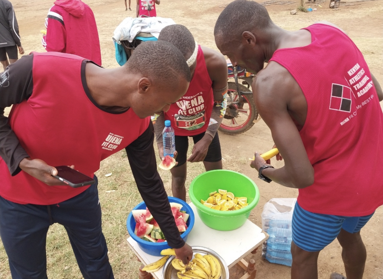
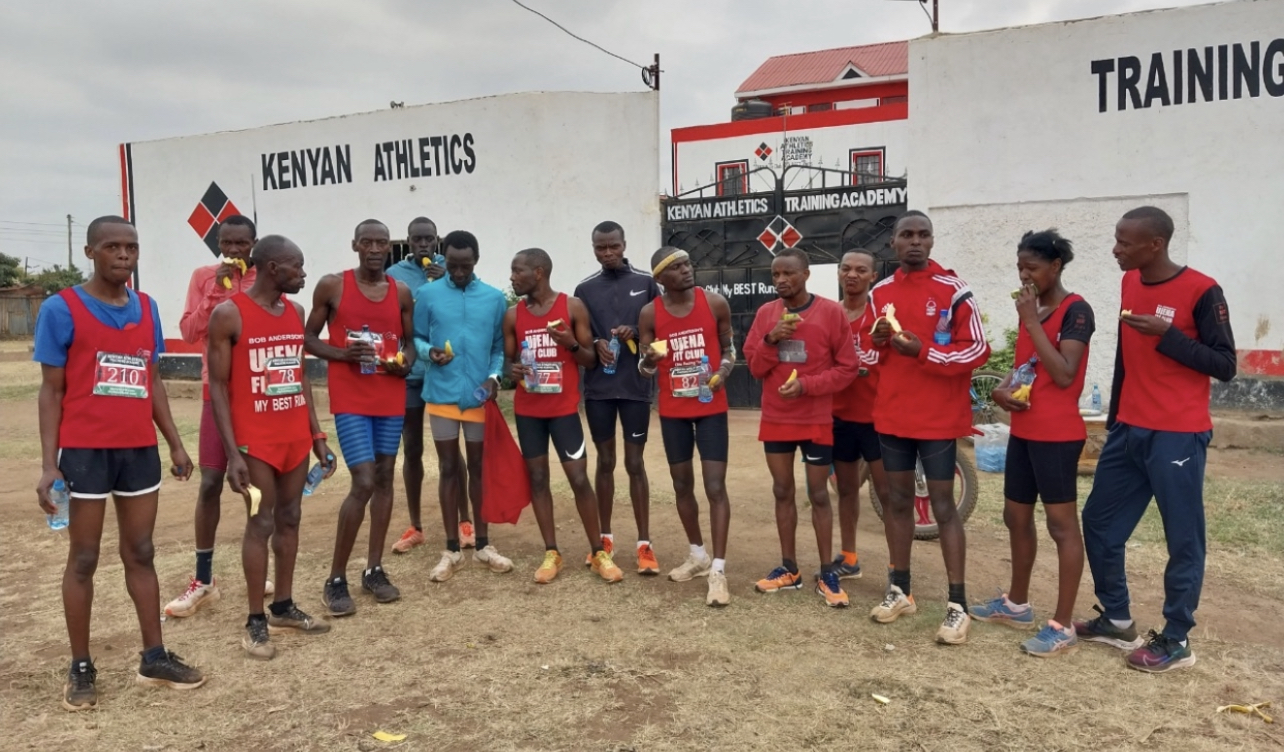
2022 eating some fruit during the break between the 10k and 5k
Sept 2 2023
2023 Double 15k
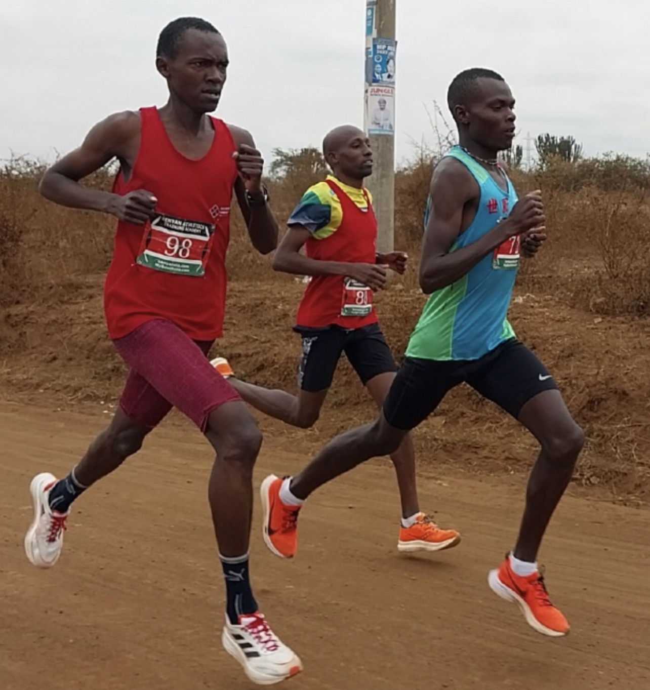
2023 race was fast
2023 results
2023 results
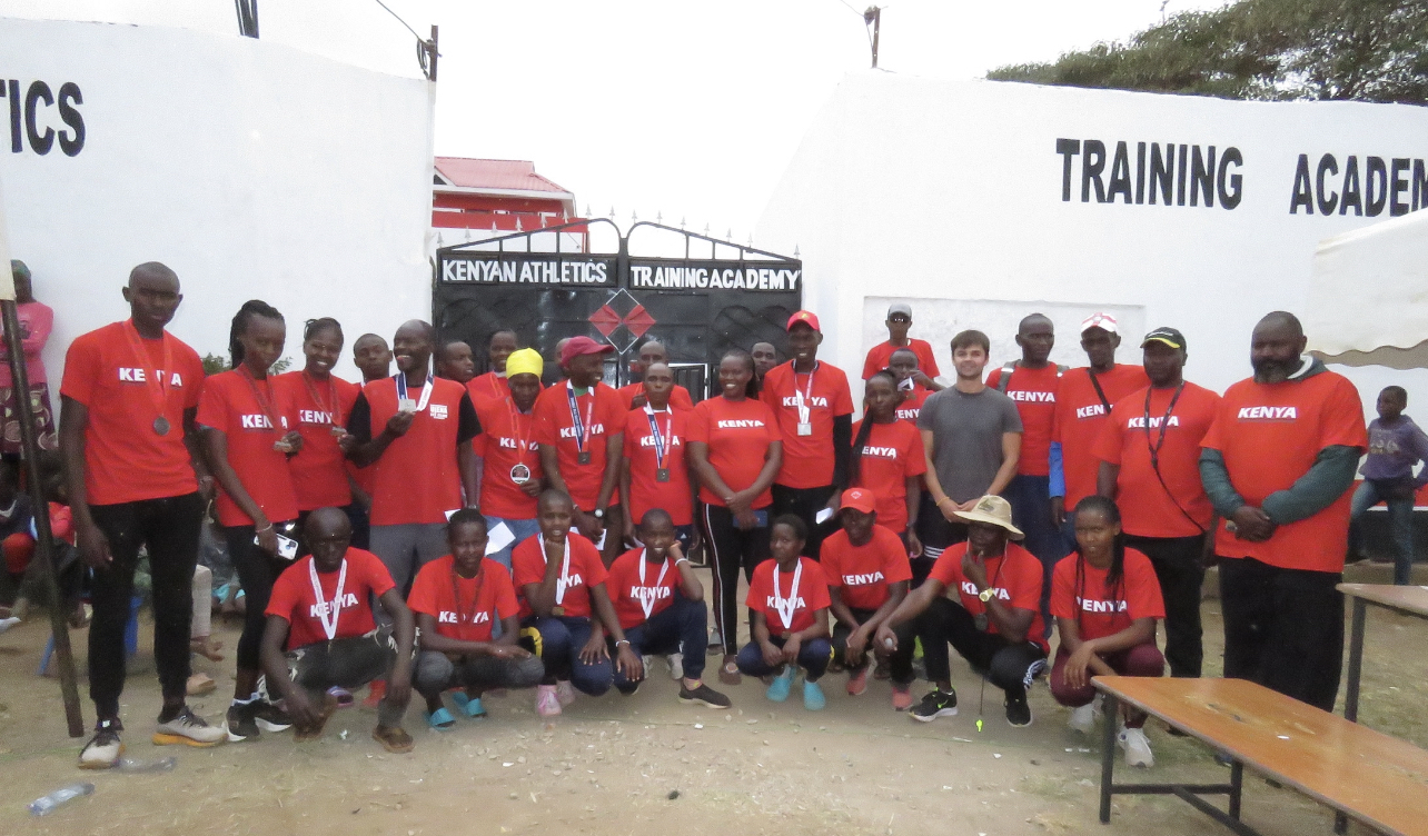
2023 event
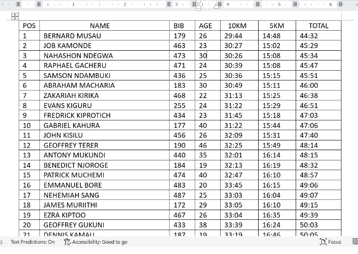
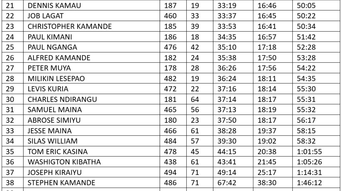
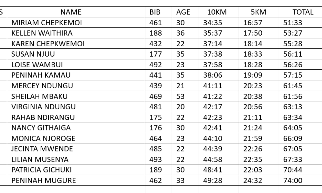
2023 event. Bernard Musau won with a total time of 44:32 which is the fastest time ever in Kenya and tied as the third best all-time result.


| Division | Time | Name | Age | Home |
| Male | 43:50 | edwin soi | ken | |
| 2nd Male | 44:07 | donald kimani | ken | |
| 3rd Male | 44:26 | john chege | ken | |
| 4th Male | 44:45 | kevin kemboi | ken | |
| Female | 51:32 | betty chesang | ken | |
| 2nd Female | 51:50 | jacinta kamau | ken | |
| 3rd Female | 52:34 | loise kiarie | ken | |
| 4th Female | 52:34 | sharon chesir | ken |
| Division | Time | Name | Age | Home |
| M 40-49 | 46:46 | joel mwangi | ken | |
| M 50-59 | 55:53 | samuel maina | ken | |
| M 60-69 | 53:23 | charles ndirangu | ken | |
| F 40-49 | 37:07 | naomi wambui | ken | |
| F 50-59 | 63:52 | sheila mbaku | ken |